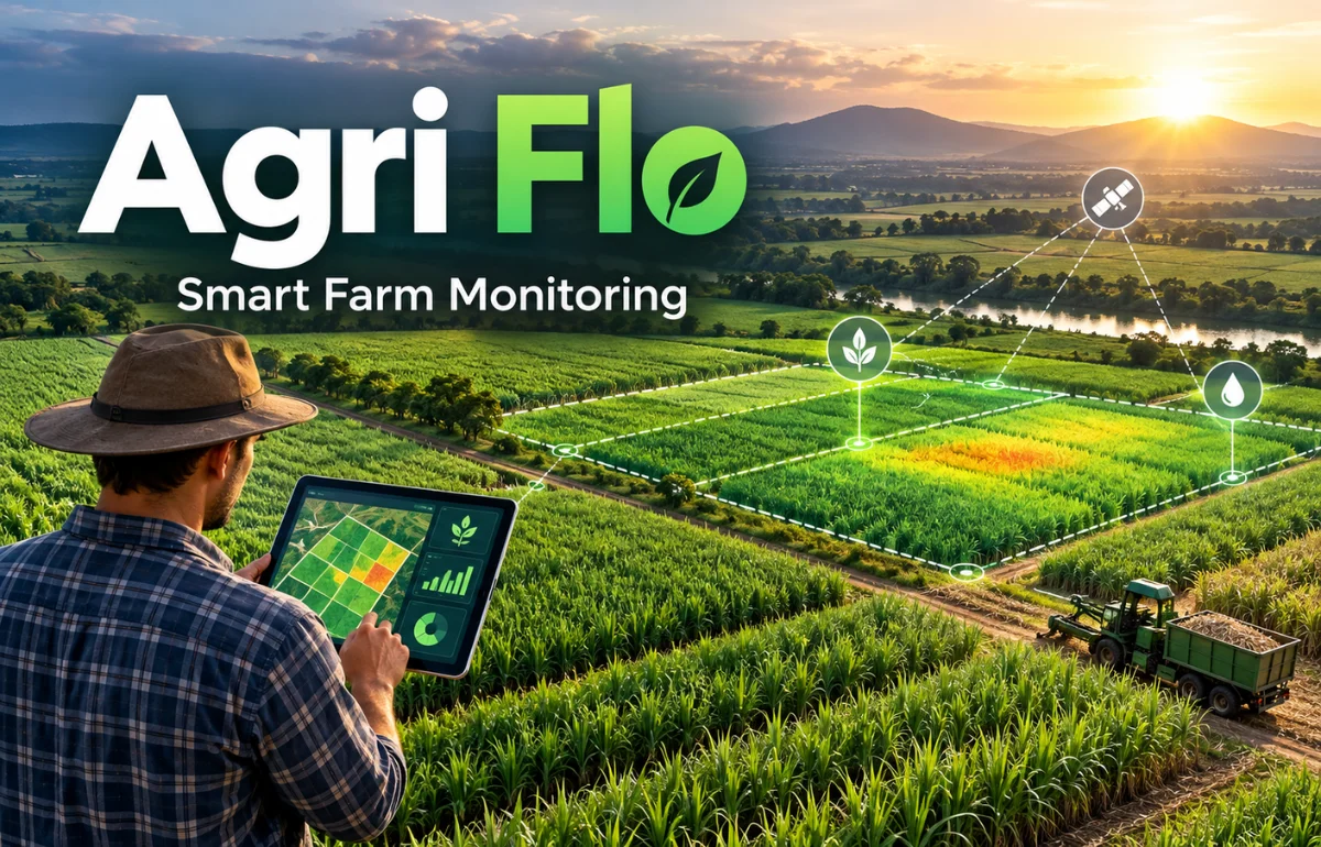
Agri Flo is a name used for several agriculture-related products and services, rather than one universal farming system. In agricultural software, it often refers to AgriFlow, a grower-management and crop-monitoring platform from Comsoft Corporation. That platform combines farmer records, GPS field mapping, satellite observations, weather information, and harvest planning to help sugar mills manage their crop supply.
Other businesses use similar names for financial farm-management software, livestock feed, salt, and fertilizer. In this article, I focus mainly on the software side of Agri Flo, explain what its tools can and cannot do, and show how to assess whether they are useful in a real agricultural operation.
What Does Agri Flo Actually Refer To?
A name alone cannot tell you whether a product is a mobile app, a farm input, or a business platform. I checked the suppliers’ own descriptions, and the differences are substantial.
Even the spellings Agri Flo, Agri-Flo, and AgriFlow appear in different contexts.
| Name or usage | What it refers to | Intended users |
|---|---|---|
| AgriFlow by Comsoft Corporation | Grower records, field surveys, satellite crop intelligence, and sugarcane supply planning | Sugar mills and agricultural procurement teams |
| Agriflow at agriflow.co | Farm operations, livestock records, financial dashboards, and market intelligence | Crop, livestock, and mixed farming businesses |
| Morton Agri-Flo Salt | Granulated sodium chloride formulated as an animal-feed ingredient | Feed manufacturers and livestock-feed operations |
| AGRI-FLO fertilizer trademark | A registered Canadian mark covering liquid fertilizer | Businesses researching agricultural inputs or trademarks |
The Comsoft platform and Agriflow farm-finance platform are separate offerings.
Morton describes its product as feed salt, while Canada’s trademark database identifies a separate fertilizer mark.
Morton’s product is not a crop treatment. It is granulated sodium chloride intended as an ingredient in animal feed. The manufacturer says it contains a trace anticaking agent and is available in bulk. Its use should follow an appropriate animal-feed formulation, not agricultural fertilizer recommendations.
Before downloading software or requesting prices, confirm the supplier’s name and official website.
How Agri Flo Farm-Management Software Works
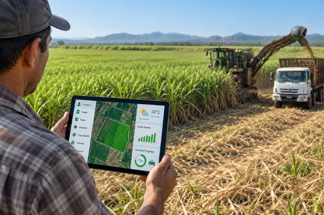
The basic idea is to join information that usually lives in different places. A grower may be listed in a paper register, acreage in a survey notebook, advances in an accounts ledger, and crop problems in a field officer’s phone messages.
Linking those records makes it easier to see which issue belongs to which farmer and field.
Comsoft’s AgriFlow is particularly focused on sugarcane procurement. Here is how its documented functions fit together.
1. Digital Grower Records Replace Scattered Registers
Each registered grower can have a searchable profile connected to fields, crop varieties, planting dates, ratoon cycles, and harvest history.
Teams can organize holdings by village, cane circle, or sourcing zone instead of checking several unrelated files.
Two departments may otherwise use different names or acreage for one farmer. A shared record reduces confusion, provided the original entries are checked.
I would make duplicate detection and a clear correction process part of any rollout, because inaccurate information becomes more damaging when everyone relies on it.
2. GPS Surveys Establish Where Crops Are Growing
Field boundaries form the foundation of a mapping system.
Comsoft says its survey process allows field officers to walk boundaries with a phone, capture a survey without an internet connection, and synchronize it later.
Office reviewers can then approve or reject submissions, preserving a record of who collected and verified the information.
Still, GPS acreage should not be treated as legally definitive land ownership evidence.
Device accuracy, field access, boundary disputes, and the difference between planted and total land area can all affect a survey.
A map should support operational decisions, not replace appropriate land records.
3. Satellite Monitoring Highlights Changes Between Visits
Once the location of a field is known, satellite imagery can help assess how vegetation changes through the season.
Images capture patterns in reflected light, and vegetation indices such as NDVI help analysts compare crop greenness and canopy development over time.
NASA’s explanation of NDVI gives a useful foundation for this approach.
Comsoft describes monitoring that flags poor establishment, stalled growth, water stress, flooding, and possible harvest activity.
That makes a satellite alert a useful reason to inspect a field; it does not make the alert a confirmed diagnosis.
Yellowing or weak growth may result from pests, nutrient shortages, water problems, or several factors together.
I would ask when the image was captured and how the interpretation was checked on the ground.
4. Weather Context Helps Interpret Crop Alerts
A concerning field reading after several hot, dry days means something different from a similar reading after heavy rainfall.
AgriFlow’s supplier says its reports combine field-level weather variables and a seven-day outlook with crop condition information.
This can prioritize visits and irrigation checks, but forecasts are uncertain and modeled soil moisture is not a root-zone measurement.
Local observations remain essential.
5. Input and Advance Tracking Connects Money to Fields
Sugar mills may advance cash, seed cane, fertilizer, fuel, or equipment support to growers before harvest.
Without linked records, finance staff can know how much was distributed but not easily see the condition of the crop behind that investment.
Comsoft describes recording cash advances and in-kind inputs against grower accounts and seasons.
Combining this information with mapped fields can help identify exposure that deserves attention.
An alert is not proof of negligence, so financial decisions still need accurate balances and fair review.
6. Harvest Planning Links Field Conditions to Mill Operations
For a sugar mill, the question is not simply whether cane is growing.
Managers also need to know when it is likely to be ready, where harvesting is underway, and how that affects trucks, crushing capacity, and supply schedules.
AgriFlow presents readiness and harvest-progress monitoring as support for those decisions.
Better information cannot eliminate weather disruptions or equipment failures. Staff still need to adjust plans as conditions change.
A Real Deployment: What the Published Numbers Show
Comsoft’s Macca Group case study reports deployment across three sugar mills, with 50,577 growers registered, 100,000 acres of boundary area mapped, and 61,000 fields monitored weekly.
The company describes moving from separate registers toward a shared grower record and reviewed field mapping.
These vendor-reported figures do not establish a yield increase, lower loan defaults, or return on investment.
I would want independently checked before-and-after measures before making any of those claims.
The most meaningful question is whether an alert becomes a completed action.
If a field is marked stressed but nobody visits it, records the cause, and follows up, the technology has generated information rather than an outcome.
Agri Flo Compared With Traditional Farm Administration
Digital software is not always better than manual records.
Complexity changes the calculation when teams manage thousands of growers and overlapping seasons.
| Everyday task | Paper or spreadsheet approach | Connected digital approach |
|---|---|---|
| Finding a grower’s field | Search separate registers or ask field staff | Open a linked grower and boundary record |
| Recording survey acreage | Enter estimates or transcribe notes | Capture a GPS boundary and review it |
| Spotting crop problems | Depend mainly on periodic visits | Use remote alerts to direct inspections |
| Tracking advances | Reconcile separate finance and input ledgers | Associate disbursements with grower accounts |
| Planning harvest | Combine calls, estimates, and local reports | Review mapped readiness alongside field updates |
| Auditing an error | Trace paper entries and revisions | Examine approval history, if properly configured |
These are potential workflows, not guaranteed results.
Poorly maintained software can be less reliable than a well-kept notebook.
An Example of Turning a Crop Alert Into Action
Imagine a mill supervising 400 sugarcane fields. On Monday, its monitoring report identifies 30 fields needing attention.
Sending an officer to every location immediately could waste fuel and time, particularly if several alerts reflect the same recent rainfall.
I would sort the alerts using three practical questions: How serious could the problem be? How reliable is the evidence? And can someone still do something useful about it?
A recently planted field showing weak establishment may deserve an urgent check because intervention time is limited.
A mature field with a questionable reading and a cloudy image may need verification before anybody drives out.
The officer then records what was actually found: standing water, irrigation failure, disease symptoms, a boundary mistake, or no problem at all.
A follow-up date closes the loop. This is an illustrative workflow, not a claimed AgriFlow feature or a published result.
A simple measure of success is the percentage of actionable alerts checked within an agreed time.
I would also monitor the alert-to-action rate: how many investigated alerts led to a useful intervention. Response time and false alarms provide additional context.
What Should You Check Before Choosing Agri Flo?
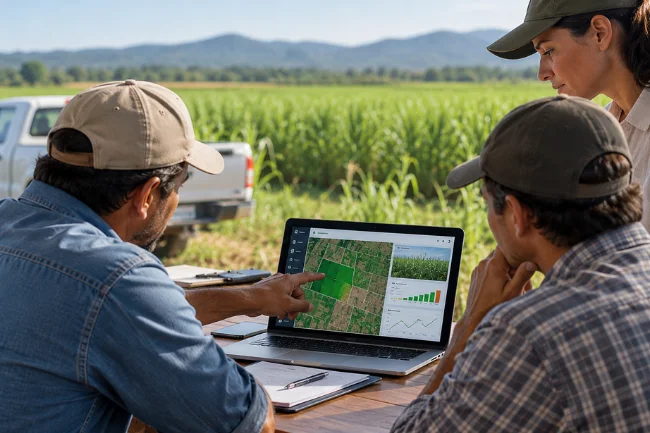
Start With the Problem, Not the Dashboard
Write down the decisions currently being delayed by missing information.
Perhaps grower advances take too long to reconcile, boundaries are disputed, or field officers cannot cover their assigned area.
Ask the vendor to demonstrate those exact tasks using realistic records, rather than concentrating on attractive charts.
Check Data Quality and Offline Reliability
Test the process with duplicate grower names, incorrect phone numbers, overlapping boundaries, and a field that has no network signal.
Can an officer save work safely? Does synchronization create duplicate surveys? Can a supervisor see who changed a record and why?
These ordinary exceptions are where a management system proves its value.
Ask How Reliable Satellite Alerts Are
Find out which imagery sources are used, how frequently usable observations arrive, and what happens during persistent cloud cover.
NASA notes that clouds and atmospheric effects can limit optical vegetation measurements.
Ask for field-level confidence or freshness indicators rather than assuming a weekly report always contains a fresh, clear image.
Request examples of false positives, missed problems, and ground checks.
A credible supplier should explain uncertainty without implying that a vegetation index can identify every crop disease or nutrient deficiency.
Understand Ownership, Privacy, and Access
Grower identities, locations, and financial balances are sensitive.
Ask who controls the records, which employees can access them, whether data can be exported, and how deletion or contract termination works.
Comsoft’s privacy policy distinguishes information gathered through its website from personal data held in a client’s platform account.
For an actual deployment, the signed contract and data-processing terms matter more than a general website statement.
Verify Integrations and the Full Cost
Ask whether the system connects to existing procurement, weighbridge, accounting, and ERP software.
Confirm whether integration is already working, requires development, or depends on file exports.
Pricing should cover more than a software license: include field mapping, record cleanup, training, devices, mobile data, support, integrations, and ongoing verification.
Comsoft invites prospective buyers to request a tailored demonstration; I did not find a standardized public price in the materials reviewed.
Get a written quote and agree on how success will be measured.
Limits That Good Marketing Should Not Hide
Remote sensing is powerful, but there are boundaries to what it can reveal.
Optical images are affected by clouds and haze. Small or irregular plots can be difficult to interpret accurately, and crop growth stage changes the meaning of a vegetation signal.
Copernicus guidance also identifies parcel size and spatial resolution as practical constraints.
Software depends on people, too.
Field officers must enter observations consistently; supervisors must review exceptions; managers must act on the findings.
Training and local-language support matter too.
I would be cautious about any promise of guaranteed yield gains, exact crop diagnoses from images alone, or instant replacement of field visits.
The strongest model combines remote monitoring with local agronomy, farmer communication, and a transparent audit trail.
Is This Type of Platform Suitable for Small Farms?
Not every grower needs enterprise software.
An individual farmer who mainly wants to track irrigation dates, fertilizer expenses, or sales may find a spreadsheet or simple recordkeeping app more practical.
A sugar mill coordinating large grower networks faces a different challenge because it must combine mapping, finance, field inspection, and supply planning across many users.
The separate Agriflow service at agriflow.co describes tools for livestock, crops, financial performance, and market information, so its stated audience differs from Comsoft’s sugar-mill emphasis.
Compare specific functions, geographic support, accessibility, security, and total cost before choosing either platform.
Where Agricultural Data Systems Are Heading
Field mapping and crop monitoring can support future forecasting, but not every proposed feature is already available.
Comsoft presents yield forecasting, input optimization, and deeper land-record integration as areas for further development.
I would treat those as roadmap items until a supplier demonstrates them in production.
More broadly, I expect the practical value of agricultural technology to depend less on how many predictions it produces and more on whether those predictions are explainable, locally validated, and tied to decisions farmers can actually make.
Final Thoughts
Agri Flo can mean very different things, so start by identifying the actual product.
If you are exploring Comsoft’s AgriFlow, its main promise is a clearer connection between growers, mapped fields, crop observations, financial exposure, and harvest decisions—not farming without human judgment.
I would begin with one measurable operational problem, test the software on a representative group of fields, and compare the results with your existing process.
That gives you a sound basis for deciding whether a wider rollout is worth the investment.
Frequently Asked Questions About Agri Flo
What is Agri Flo used for?
The name refers to different products; Comsoft’s AgriFlow is used for grower records, field mapping, crop monitoring, and sugarcane supply planning.
Is Agri Flo a fertilizer or farming software?
Both associations exist under similar names. Check the manufacturer: AgriFlow software, Morton feed salt, and the AGRI-FLO fertilizer trademark are distinct.
Can AgriFlow detect crop disease from satellite images?
Satellite data can flag unusual vegetation patterns, but a field inspection or appropriate testing is needed to identify the cause reliably.
Does AgriFlow work without an internet connection?
Comsoft says its field-survey workflow supports offline data capture and later synchronization; other features may need connectivity.
How much does Agri Flo cost?
Costs depend on the product and deployment. For Comsoft’s platform, request a written quote covering setup, support, integrations, and training.

Noah Sterling is a technology research writer with 8+ years of experience covering emerging technologies, software trends, digital tools, and innovation. He creates practical, research-based articles to help readers understand the evolving technology landscape.